The Bay of Plenty - Where we live
What is special about where we live? What do you know about our location? Why is it called the Bay of Plenty? What landmarks do you know?
As part of our theme on abundance we will take a look at where live and what is abundant in the Bay of Plenty.
As part of our theme on abundance we will take a look at where live and what is abundant in the Bay of Plenty.
|
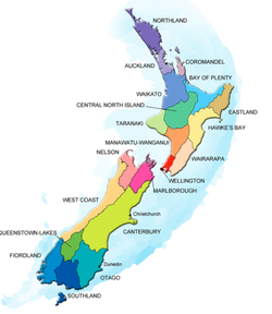
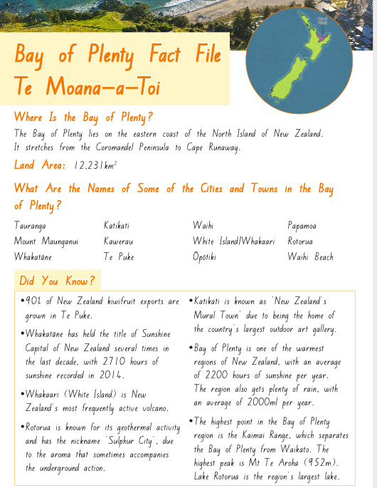
Where is the Bay of Plenty in New Zealand?
Look at its location in the North Island. How many other areas do you know or recognise in New Zealand? Have you ever lived or were you born in a different area of New Zealand? |
What areas or names of places do you recognise?
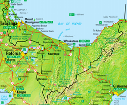
What does the map show us?
Can you see the defined rivers, roads, and mountainous ranges?
What does the map show us?
Can you see the defined rivers, roads, and mountainous ranges?
This map shows you the shape of the Bay of Plenty and where it sits in New Zealand.
You can also see the marine reserve. Where do you think that is highlighted?
You can also see the marine reserve. Where do you think that is highlighted?
|
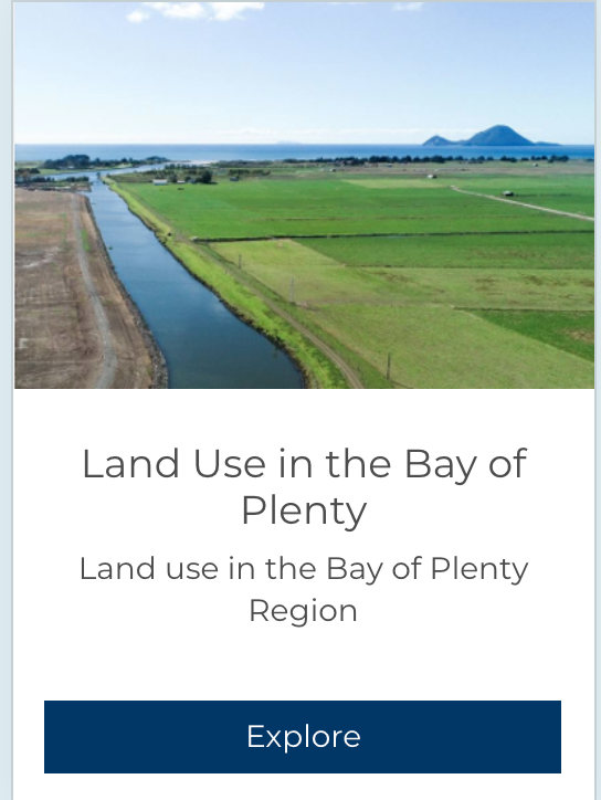
Farmlands and agriculture in the Bay of Plenty
|
Why is it called the Bay of Plenty?
The Bay of Plenty (Māori: Te Moana-a-Toi), often abbreviated to BOP, is a region in the North Island of New Zealand situated around the body of water of the same name. The bay was named by James Cook after he noticed the abundant food supplies at several Māori villages there, in stark contrast to the earlier observations he had made in Poverty Bay.
The major population centres are Tauranga, Rotorua and Whakatane. The Bay of Plenty is one of the fastest growing regions in New Zealand.
After experimenting with different crops, settlers found success with dairy production. Dairy factories sprang up across the Bay of Plenty in the 1900s, with butter and cheese feeding economic prosperity throughout the early 20th century. Timber also became a major export in the 1950s, as kiwifruit did later.
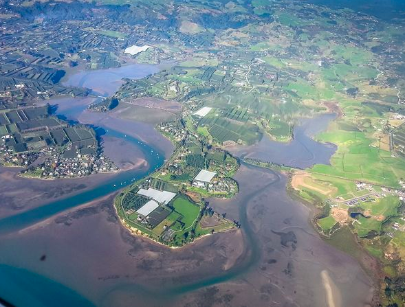
The Bay of Plenty region covers 12,200 km² of land and 9,500 km² of coastal marine area. It extends along the eastern coast of the North Island, from the base of the Coromandel Peninsula in the west to Cape Runaway in the east. The region extends 12 down the coastline, to include several islands in the bay, notably Mayor Island/Tuhua, Motiti Island, Whale Island and the active volcano of Whakaari/White Island.
The Bay of Plenty has a great deal of coastline. It has sandy coast at Waihi Beach and rocky shores at Opape. There are large harbours at Tauranga, Whakatane and Ohiwa.
Prominent mountains in the region include Mount Maunganui, Mount Tarawera and Mount Edgecumbe/Putauaki, which also have cultural significance to local Māori. The Kaimai and Mamaku mountain ranges lie at the western border of the region. Large native and foreign (planted) forest areas are found in the inland parts of the region. The Kaingaroa Forest is the world's largest planted forest, comprising radiata pine mainly used for timber.
|
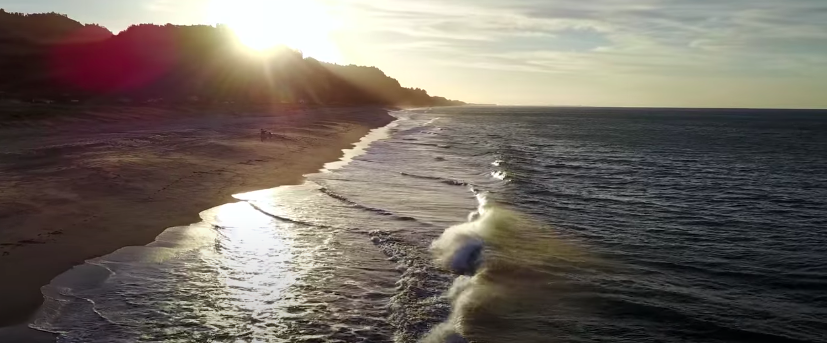
Watch this video of our beautiful coastline. What features do you notice?
|
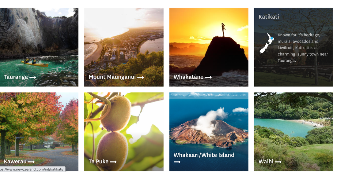
Urban Bay of Plenty.
There are many urban areas (towns) in the Bay of Plenty. Click on the image below to discover more about where these towns are and about the special taonga they all contain.
|
How to make a small ship for our 3D map

|
How to make a small house for our 3D map


|
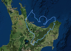
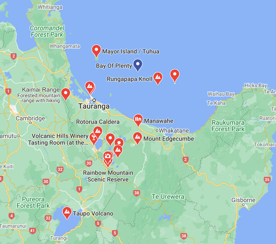
Volcanoes
In the Bay of Plenty Region there are four active volcanic centres (active in last 20,000 years); the Okataina Volcanic Centre, Pūtauaki (Mt Edgecumbe), Tuhua (Mayor Island) and Whakaari (White Island).
Click on the image below to find where these volcanoes are located.
Click on the image below to find where these volcanoes are located.
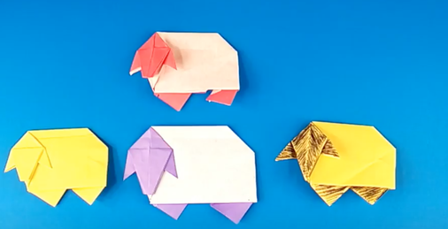
Rural Bay Of Plenty
Watch these youtube clips and have a go at making your own origami farm animals.